Seafloor HydroLite ™ Specifications
Power: rechargeable 12v battery
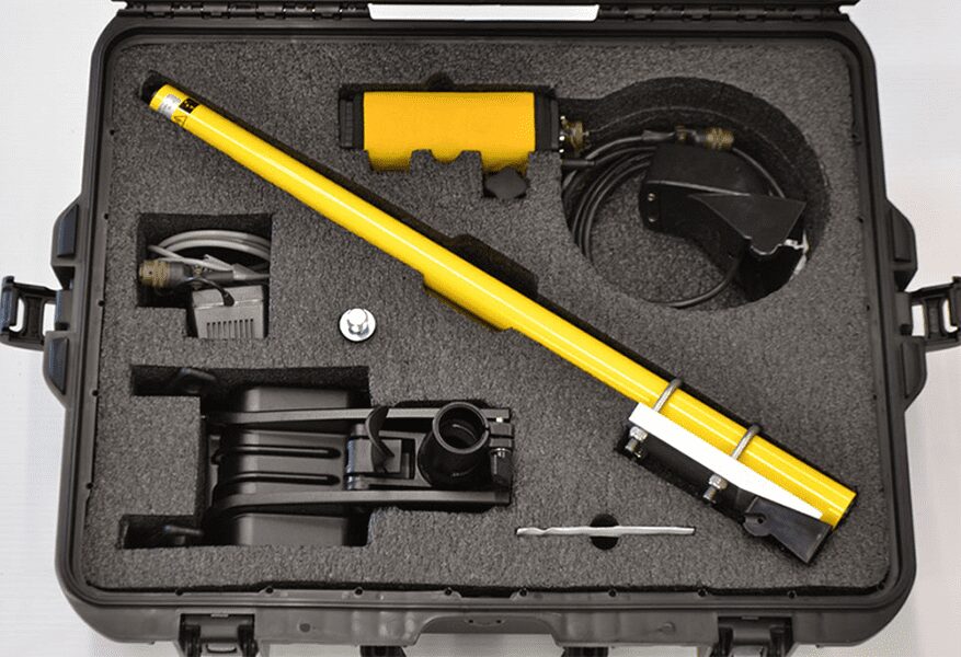
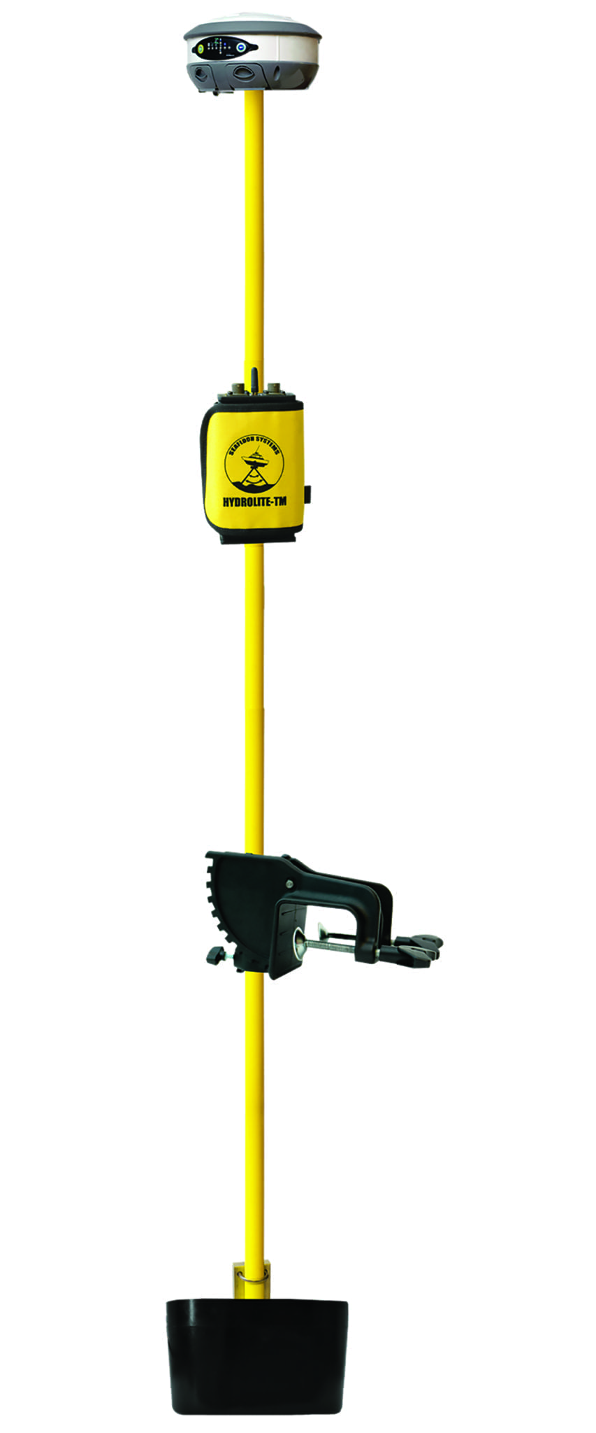
Hardware: HydroLite Boat Mount/Pole Kit
Frequency : 200-KHz
Beam Width: 8º
Ping Rate: 6-Hz
Depth Accuracy: 1cm / 0.1% of depth
Output Formats: NMEA, ASCII, Quality
Operating Range: 0.3m–75m
I/O Connections: serial, Bluetooth®
GPS Compatibility: Trimble, Leica, Topcon, Sokkia, Epoch, Carlson, HYPACK, QPS, EIVA, POS.
>The HydroLite should be included in every Survey and Engineering company’s standard equipment kit for hydrographic surveying. Developed to meet the requirements of the U.S. Army Tactical Dive Teams, the rugged, wireless HydroLite-TM looks and feels like your traditional survey instrument. It quickly measures and logs depths more accurately than standard systems, making fast work of ponds, rivers, lakes, and more. GPS and data collector sold separately
The HydroLite-TM™ should be included in every survey and engineering company’s standard equipment kit for hydrographic surveying. Developed to meet requirements for the U.S. Army Tactical Dive Teams, the rugged, wireless HydroLite-TM™ looks and feels like your traditional survey instrument. It quickly measures and logs depths more accurately than standard systems, making fast work of ponds, rivers, lakes and more.


